Table of Contents
The geography of Guatemala is a captivating blend of diverse landscapes and historical significance. Situated in Central America, this nation’s geographic location has played a pivotal role in shaping its history and cultural identity.
Nestled in Central America, Guatemala geography beckons adventurous travelers with its rugged mountain ranges, captivating valleys, and ancient historical sites. From exploring the majestic peaks of the Sierra Madre to uncovering the cultural tapestry of Guatemala City, Guatemala’s diverse landscapes and rich history offer an unforgettable journey for intrepid tourists seeking a unique and enriching experience.
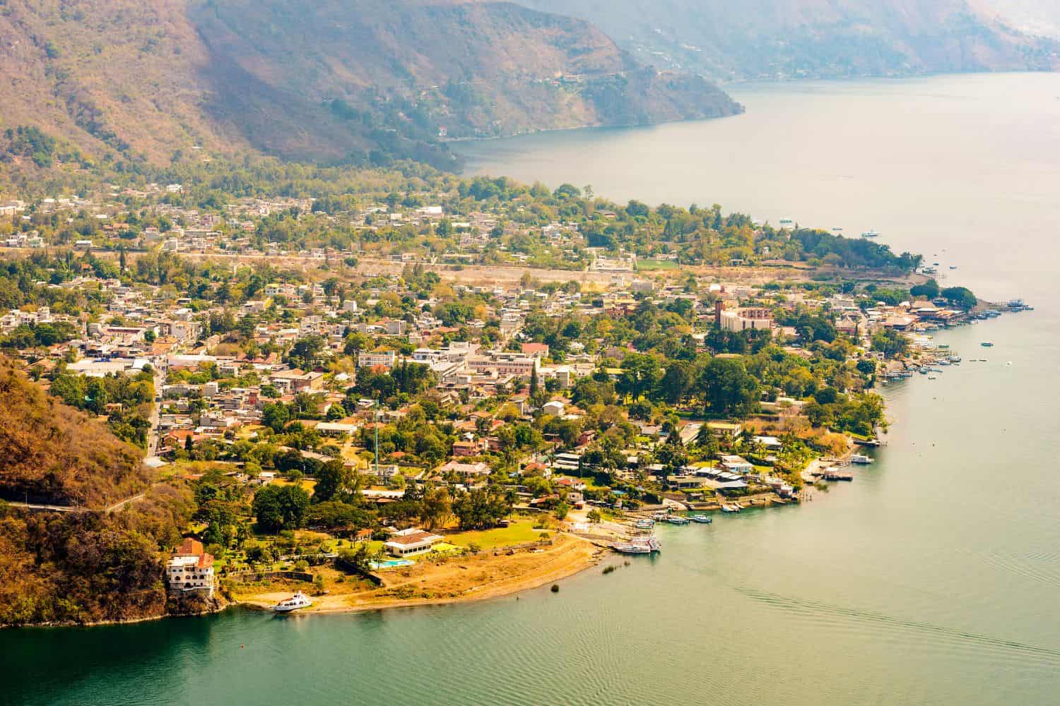
The physical geography of Guatemala paints a picture of awe-inspiring natural masterpieces. From the awe-inspiring cliffs of Lake Atitlán, surrounded by picturesque villages that reflect the nation’s rich Mayan heritage, to the diverse ecosystems that flourish throughout the country, Guatemala stands as a testament to nature’s grandeur.
Top Geographic Features of Guatemala
- Sierra Madre Mountain Range: The towering Sierra Madre range spans across much of Guatemala, shaping its topography and influencing climate patterns.
- Motagua River: One of Guatemala’s major rivers, the Motagua River, flows through the eastern part of the country, providing crucial water resources for agriculture and irrigation.
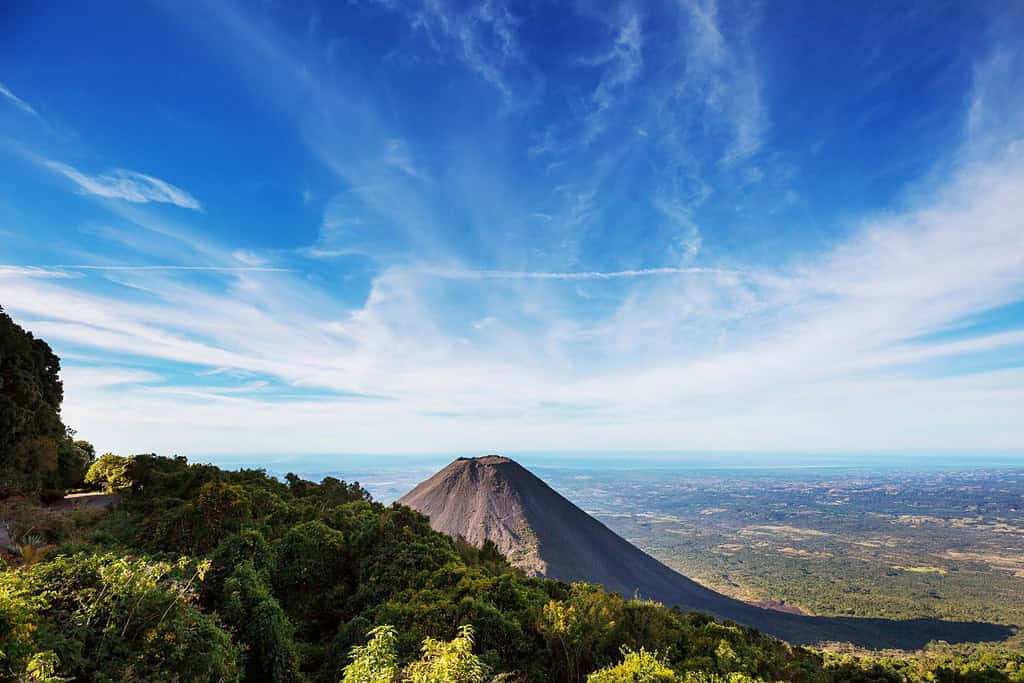
- Chiquimula Volcano: This dormant volcano in the Sierra Madre range is an iconic geological feature of Guatemala, and its surrounding area is known for its fertile soil and agricultural activities.
- Petén Basin: Vast and lush lowland region located in the northern part of Guatemala. It is characterized by its tropical rainforests, extensive wetlands, and ancient Mayan archaeological sites.
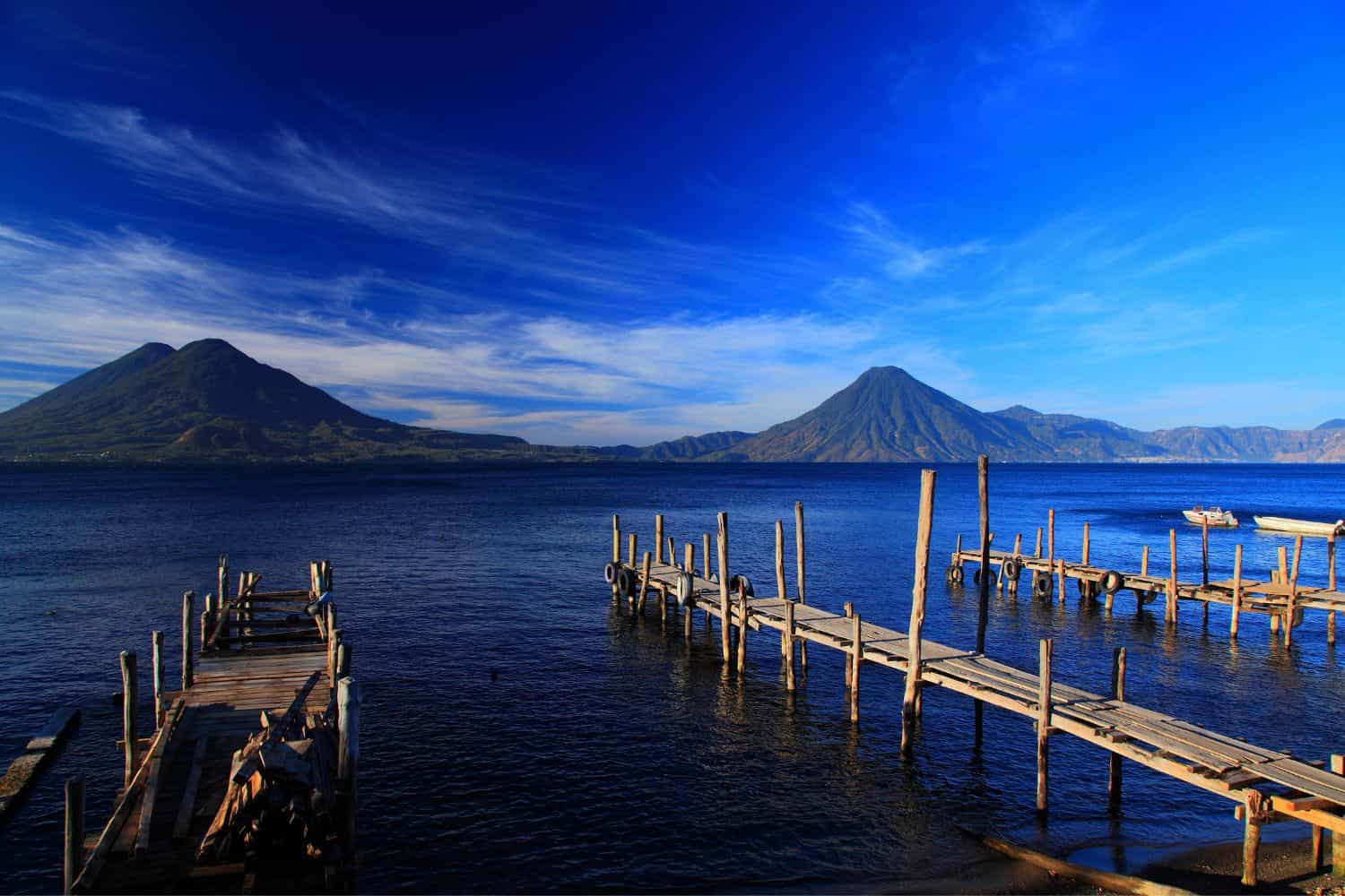
- Lake Atitlán: Famous for its stunning beauty and serene waters, Lake Atitlán is surrounded by picturesque villages and is one of the most iconic natural wonders in Guatemala.
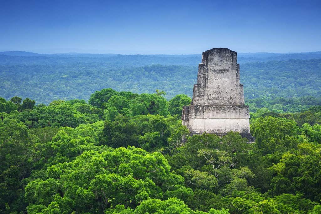
- Tikal National Park: The Tikal ruins in northern Guatemala are a UNESCO World Heritage Site, known for their ancient Mayan pyramids and temples, offering significant historical and cultural importance.
- Usumacinta River: Another important river in Guatemala, the Usumacinta River, flows through the western part of the country and is vital for transportation and trade.
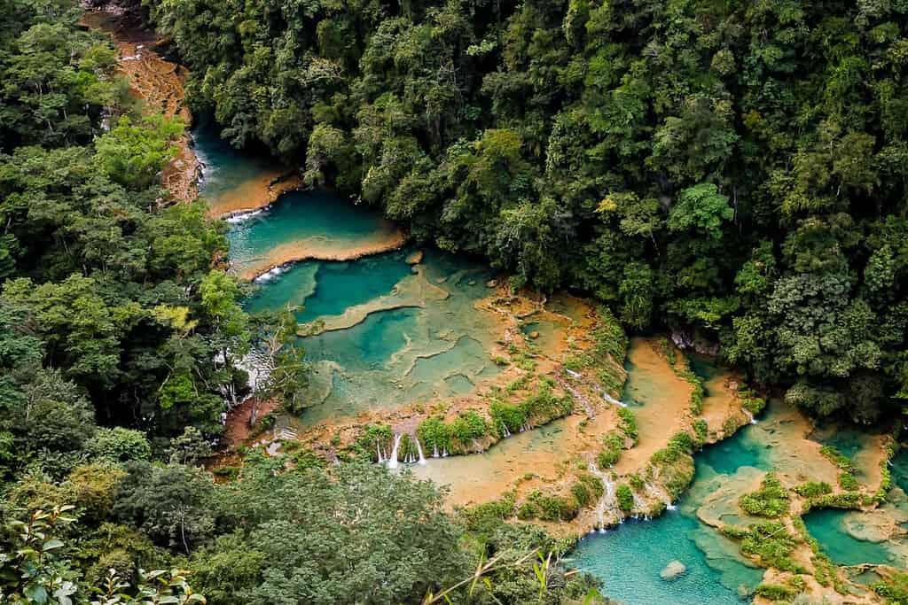
- Semuc Champey: This series of limestone pools and waterfalls in the Alta Verapaz region offers a breathtaking and unique natural wonder in Guatemala.
- Caves of Candelaria: Located in the Petén region of Guatemala, these caves hold archaeological and geological significance, attracting researchers and explorers.
- Verapaces Highlands: A mountainous region in central Guatemala known for its lush cloud forests and unique biodiversity, making it an important ecological area.
These geographic features play a crucial role in shaping Guatemala’s landscape, climate, and cultural history, making them essential elements in defining the country’s geography.
Guatemala Geography
Delving into Guatemala National Geographic canvas reveals a captivating array of geographical features. From towering mountain ranges to arid deserts and lush valleys, the country offers a mesmerizing tapestry of natural wonders.
- Mountain Ranges – The Crown of Diversity: Similar to documentaries that often feature towering mountain ranges, Guatemala boasts the majestic Sierra Madre and Cuchumatanes ranges. These rugged peaks not only enhance the country’s scenic beauty but also offer unique biodiversity and have shaped its cultural identity.
- Lakes – A Kaleidoscope of Colors: Guatemala’s Lake Atitlán, surrounded by volcanoes and picturesque landscapes, resembles the stunning scenes captured in photographs. This crystal-clear lake reflects the region’s geological richness.
- Deserts – Undulating Sands of Time: Just as desert features highlight vast sandscapes, Guatemala’s Chiquibul Desert showcases undulating sand dunes and extreme temperatures. This arid region tells stories of resilience and adaptation in the face of nature’s challenges.
- Historical Sites – Unveiling the Past: Guatemala’s historical sites, like the Tikal Mayan ruins, evoke memories of explorations that uncover ancient civilizations. The remnants of towering pyramids and intricate hieroglyphs stand as a testament to the country’s rich Mayan heritage.
- Ethnic Diversity – A Cultural Melting Pot: Similar to the National Geographic focus on diverse cultures, Guatemala is a tapestry of ethnic groups, including Maya, Ladinos, Garifuna, and Xinca. Each group contributes unique traditions, languages, and customs, creating a vibrant cultural mosaic.
- Wildlife – A Sanctuary for Nature: Guatemala’s protected areas, such as the Maya Biosphere Reserve, mirror the coverage of wildlife conservation. These regions serve as crucial habitats for jaguars, howler monkeys, and various bird species, preserving biodiversity in a challenging environment.
- Geological Marvels – A Natural Showcase: The country’s geological wonders, like the Cueva de la Olla cave system, showcase Guatemala’s natural beauty amidst the lush landscapes. Such formations demonstrate the awe-inspiring forces of nature.
- Remote Exploration – Uncharted Territories: The remote and isolated Petén jungle beckons adventurers, much like quests into uncharted territories. This dense rainforest offers a glimpse into untouched landscapes and ancient archaeological discoveries.
Guatemala geographical features are marked by the dominating presence of the Sierra Madre and Cuchumatanes mountain ranges. These majestic peaks, soaring above 3,000 meters, create a breathtaking backdrop for the nation’s diverse topography. The historic Motagua Fault, a significant geological feature, runs through Guatemala, shaping its landscape and occasionally causing seismic activity.
Flowing gracefully through the Guatemalan terrain are the life-giving rivers of the Motagua and Usumacinta Rivers, vital for agriculture and irrigation. Additionally, the expansive Petén Basin and Chiquibul Forest add to the country’s unique geography.
Guatemala Geographic Location
Guatemala geographic location is of significant strategic importance, and its positioning has played a pivotal role throughout its history. Situated at the crossroads of Central America, this country has served as a hub for the exchange of goods, ideas, and cultures between the North and South American continents, leaving an enduring mark on its historical significance.
Borders of Guatemala
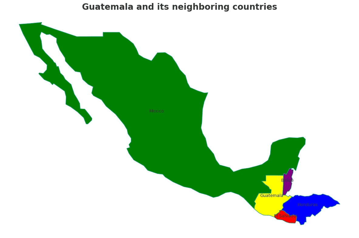
Guatemala shares its borders with several neighboring countries. Here is an overview of Guatemala physical geography, including its bordering nations and the approximate total length of each border:
- Mexico: The border between Guatemala and Mexico stretches for approximately 958 kilometers.
- Belize: Guatemala shares an approximately 266-kilometer-long border with Belize.
- Honduras: The border between Guatemala and Honduras is approximately 256 kilometers long.
- El Salvador: Guatemala’s border with El Salvador spans roughly 203 kilometers.
Guatemala’s geographic location has made it a crucial crossroads for trade and cultural exchange in Central America, much like Afghanistan’s role on the Silk Road.
| Guatemala Neighboring Country | Border Length (Approximate) |
|---|---|
| Mexico | 958 kilometers |
| Belize | 266 kilometers |
| Honduras | 256 kilometers |
| El Salvador | 203 kilometers |
These international borders define Guatemala’s connections to different regions and contribute to the country’s geopolitical significance as a crossroads in Central America.
Geography of Guatemala City
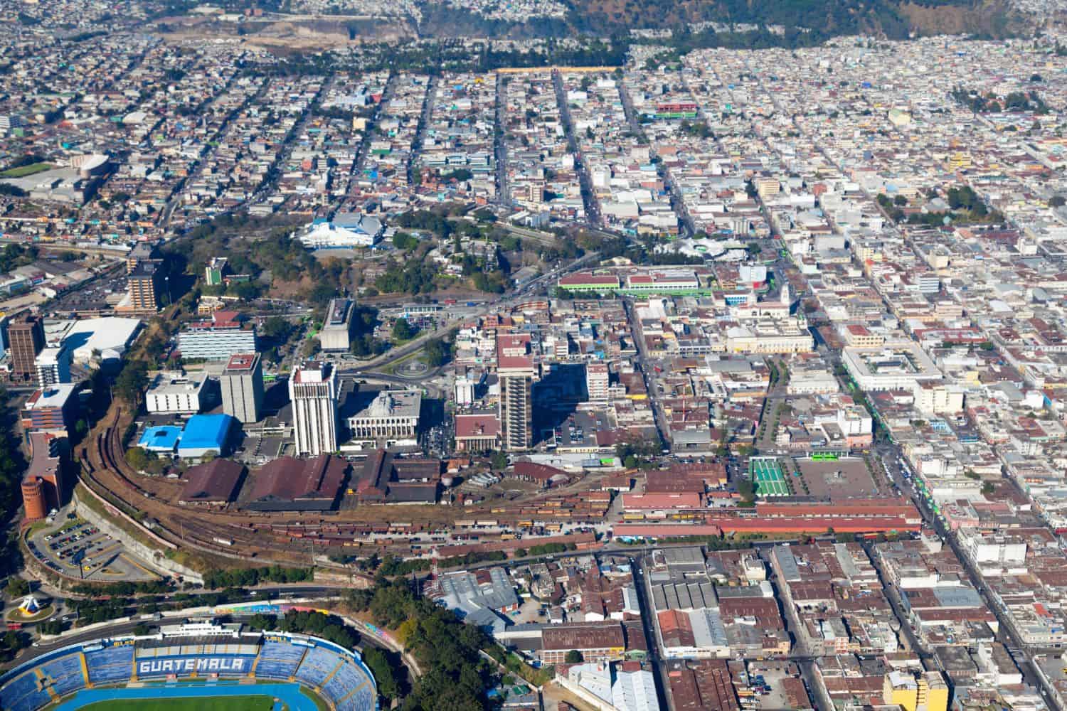
As the capital city of Guatemala, Guatemala City is a captivating microcosm of the country’s human geography. Here, various ethnic groups, including Mestizos, Mayans, Garifuna, and Xinca, coexist, contributing to the city’s rich cultural diversity.
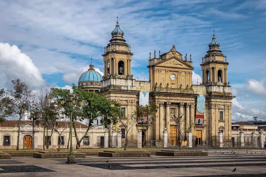
Guatemala City, the capital city of Guatemala
- City of Contrasts: Guatemala City is known for its stark contrasts, where modern developments harmonize with traditional neighborhoods, creating a distinctive blend of the old and new.
- Motagua River: The Motagua River flows through the city, providing water for irrigation and supporting the city’s agricultural activities.
- Guatemala City’s Elevation: The city is situated at a high elevation, approximately 1,500 meters (4,921 feet) above sea level, surrounded by the breathtaking peaks of the Guatemalan Highlands.
- Green Spaces: Guatemala City boasts several enchanting gardens and parks, including the La Aurora Zoo, offering a tranquil escape amidst the bustling city.
- Historical Significance: With a history dating back over 2,000 years, Guatemala City has witnessed various civilizations and played a pivotal role in ancient trade routes.
- Diverse Architecture: The city showcases a diverse architectural heritage, reflecting influences from Mayan, Spanish Colonial, and modern styles.
- Volcanic Landscapes: Guatemala City is surrounded by volcanic landscapes, with several active and dormant volcanoes nearby, enhancing the city’s dramatic scenery.
- La Catedral Metropolitana: The historic La Catedral Metropolitana, located in the city center, is an iconic symbol of Guatemala City’s cultural and religious importance throughout history.
- Guatemala City’s Economy: The city serves as Guatemala’s economic and cultural hub, attracting people from all over the country seeking opportunities and education.
- Population Growth: Guatemala City has experienced rapid population growth, with a significant influx of people from rural areas, leading to urbanization and infrastructure challenges.
Historical Geographical Importance of Guatemala
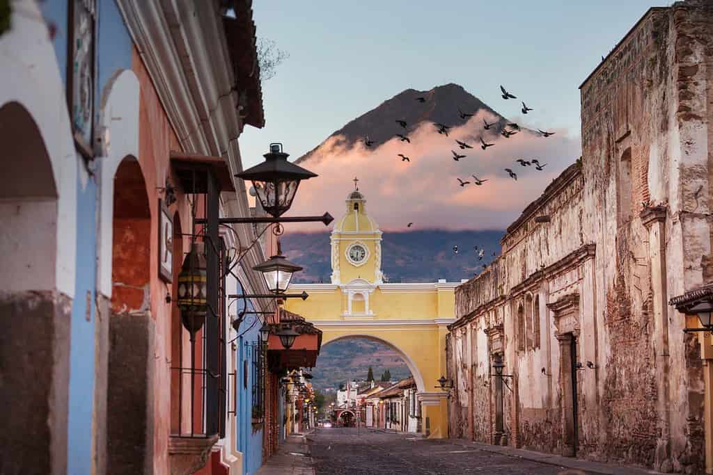
Throughout the ages, Guatemala’s geographical significance has made it a sought-after stage for historical drama. As empires rose and fell, from the Mayans to the Spanish and British, guatemala geographic location played a pivotal role in shaping the world’s history.
- Strategic Crossroads: guatemala geographic location at the crossroads of Central America, North America, and the Caribbean has made it a strategic point for trade, cultural exchange, and military conquests throughout history.
- Ancient Trade Routes: The ancient Mayan trade routes and other trade networks passed through Guatemala, connecting North and South America, and facilitating the exchange of goods, ideas, and cultures.
- Spanish Conquests: Guatemala was a key battleground during the Spanish conquests in the 16th century, as they sought to expand their empire in the New World.
- The Colonial Era: During the colonial period, Guatemala became a focal point of European colonization, with various powers vying for control over its rich resources.
- Independence and Modern History: Guatemala’s geographic position played a significant role in its struggle for independence and subsequent history, including the challenges and opportunities it faced as a young nation.
- Influence of Mayan Civilizations: Guatemala was home to various Mayan civilizations, including the Tikal and Copan, shaping its culture and history.
- The Great Lakes of Guatemala: The stunning Lake Atitlan and Lake Izabal, known as the “Great Lakes of Guatemala,” have been central to the region’s culture and biodiversity.
- Influence of Catholicism: Guatemala’s geographic location at the crossroads of empires also made it a key center for the spread of Catholicism, influencing its culture, art, and architecture.
The geographical position of Guatemala is a mosaic of beauty and historical importance. With its breathtaking landscapes, ancient trade routes, and diverse cultural heritage, this Central American nation continues to captivate the world’s imagination. Despite challenges, Guatemala remains an enticing destination for the intrepid traveler and curious explorer, drawn to its blend of natural wonders and historical intrigue.
In conclusion, Guatemala’s geographical significance has made it a stage for historical drama, with various empires and civilizations vying for control and leaving their mark on the region’s history. Its strategic position has shaped the historical events of the Americas and continues to play a pivotal role in the geopolitics of the region today.
More About Guatemala
[the-post-grid id=”50363″ title=”Guatemala Main page”]
